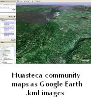
The Mexico Indigena team has made a significant portion of its GIS database available to the public through the web, through two innovative techniques. With the first, Google Earth's kml filetype, we draped our Huasteca community maps on the Google Earth terrain (click image to right).
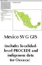
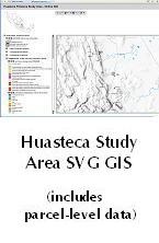
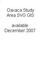
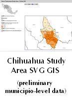
With the second technique, SVG, we created a true online GIS, where much of our data from all three study areas, as well as national data, may be explored and queried by anyone with internet access (click images to left).
No special software is required to use the SVG files, other than SVG browsing capability, which is available for free here. Most browsers will include SVG browsing automatically by early 2008.
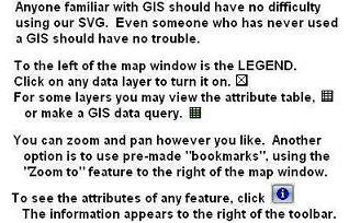
Tips for using SVG GIS
The SVG GIS was created using MapViewSVG software.
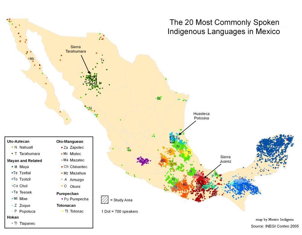
Click here for a map of Mexico's twenty largest indigenous groups.